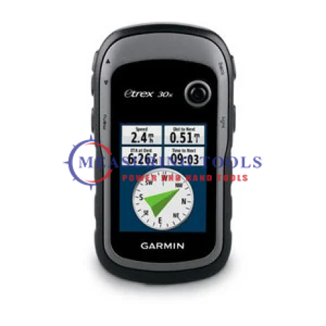
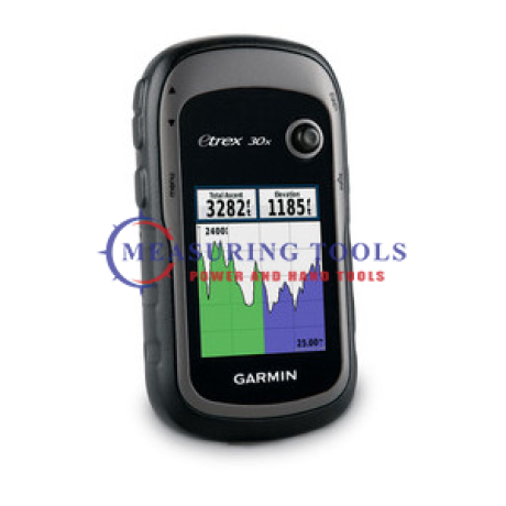
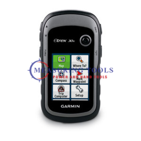
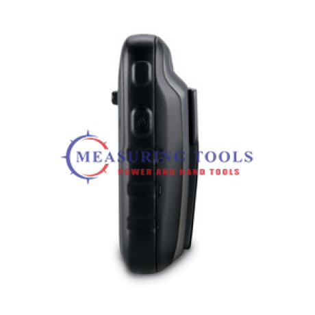
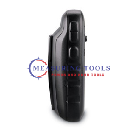
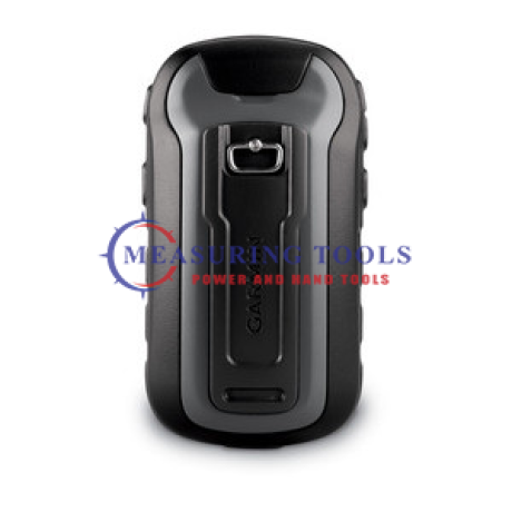
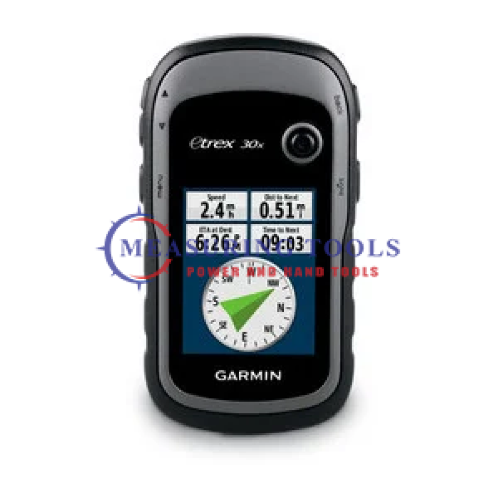
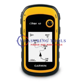
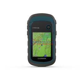
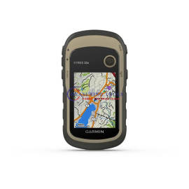
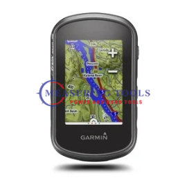
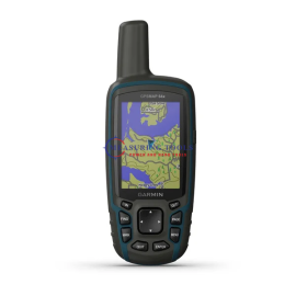
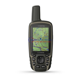
Garmin eTrex® 30x Gps Handheld Garmin 010-01508-10
Overview
FeaturesHandheld GPS, 3-axis Compass: Better Resolution and MemoryGreater resolution with 240 x 320 display pixels for improved readabilityInternal memory expanded to hold more mapsWorldwide...
Categories
Cart
Account
Search
Recent View
Go to Top
All Categories
×
- Equipment Spares
- Hand Tools
- Hand Tools & Accessories
- Intelligent Locks
-
Material Testing
- Aggregate And Chippings
- Bitumen Extraction : Extractor Bottle Method (BS 598)
- Bitumen Extraction : Hot Extractor Method (BS 598)
- Bitumen Spray Test (BS 1707)
- CBR (AASHTO T193)
- Concrete: Cube Compression Testing
- Concrete: Slump And Cube Manufacture (BS 1881)
- Consumables
- Density - Nuclear Density Method (AASHTO T238)
- Density - Sand Replacement Method (BS1377)
- Flakiness (BS 812)
- General Equipment
- Marshall Test (ASTM D1570)
- Miscellaneous Equipment
- Relative Density Of Aggregates (BS 812)
- Sieve Analysis (BS 1377)
- Standard Specifications (Latest Editions)
-
Measuring Tools
- Air Quality & Particle Meters
- Air Velocity & Manometers
- Calipers & Micrometers
- Fiberoptic Scopes & Boroscopes
- Force, Torque & Vibration Meters
- Gas, Leak & Radiation Detectors
- Hardness, Thickness & Gloss Meters
- Home Inspection Kits
- Hydrometers
- Insulation, Resistance & Capacitance Testers
- Light, Sound, Moisture & Environmental Meters
- Multimeters, Clamp Meters & Electrical Testers
- PH, Conductivity & TDS Meters
- Pressure Gauge
- Refractometers & Heat Stress Meters
- Soil Fertility Meters
- Tachometers & Stroboscopes
- Test Meter Calibration Kits
- Thermal Imagers & Infrared Thermometers
- Thermo-Hygrometers & Psychrometers
- Thermocouples & Digital Thermometers
- Weighing Scales
- Measuring Tools Accessories
- Medical Equipment
- Metal Detectors
- NDT Test Equipment
-
Power Tools
- Blowers
- Circular Saws
- Cutters
- Demolition Hammers
- Drill Drivers
- Dust Extractors
- Grinders
- Heat Guns
- High Pressure Washers
- Impact Drills
- Impact Wrench
- Jig Saws
- Light
- Mitre Saws
- Multi-Cut Saw
- Nibblers
- Planers
- Polishers
- Rotary drills
- Rotary hammers
- Routers
- Sabre Saws
- Sanders
- Table Saws
- Vacuum Cleaners
- Vibrators
- Wall chasers
-
Power Tools Accessories
- Batteries & Starter Kits
- Best Diamond wet core cutter
- Chisels
- Cloth hand sanding roll
- Color foam blocks
- CYL 3 Concrete Cylindrical Drill Bits
- CYL-9 Cylindrical Drill Bits
- CYL-9 Multi Construction Cylindrical Drill Bits
- CYL-9 Natural Stone Cylindrical Drill Bits
- Diamond drill bits
- ECO Circular saw blade
- ECO Diamond cutting disc
- Expert Circular saw blade
- Expert Cutting/grinding discs
- Expert Diamond cutting disc
- Fibre-Sanding Discs
- Flap discs
- Grinding wheels
- Hand sanding sheets
- Holesaw sets
- HSS bi-metal holesaws
- HSS PointTeQ Metal drill bits
- HSS-Co Metal drill bits
- HSS-G Metal drill bits
- Jigsaw blades
- Multi-cutter Accessories
- Polishing pad (for GPO)
- Power Tools Accessories
- Probox HSS Metal drill bits
- Professional Diamond cutting disc
- Progressor holesaws
- Routing bits
- Sabre saw blades
- Sanding belts
- Sanding sheets
- Screwdriver bits
- Screwdriver bits set
- SDS-max-4 drill bits
- SDS-max-7 drill bits
- SDS-max-9 drill bits
- SDS-plus adapters holesaws
- SDS-plus-1 drill bits
- SDS-plus-5 drill bits
- Self Cut Speed spade Wood Drill Bits
- Sheet metal holesaws
- Sockets
- Standard brad point Wood Drill Bits
- Standard Circular saw blade
- Standard Cutting/grinding discs
- Standard Diamond cutting disc
- Standard Diamond grinding head
- Wood auger drill bits
-
Survey Accessories
- Batteries & Chargers
- Bipods & Tripods
- Calculators
- Drafting Supplies
- Field Cases
- Flash Cards & USB
- Glasses, Wall Mounts & Accessories
- GNSS Accessories
- Instrument Tripods
- Lasers & Leveling Rods
- Power, Antennae & Data Cables
- Prism Pole & Rod Accessories
- Prism Poles
- Prisms & Assemblies
- Rover Rods
- Safety Clothes & Field Supplies
- Survey Accessories
- Tape Measures
- Tribrach & Adapters
- Vials & Levels
- Walkie Talkie Radios
-
Survey Equipment
- Car Navigation Systems
- Compass
- Detection Tools
- Distance measuring Tools
- Field Controllers
- GNSS Antennae
- GNSS External Radios
- GNSS Systems
- GPS Systems
- GPS Tracker
- Ground Penetrating Radar
- Indoor Navigation Systems
- Laser Levelling Tools
- Laser Receivers
- Optical Levelling Tools
- Softwares
- Theodolite
- Total Stations
- Water Detectors
- Wide Format Equipment
Shopping Cart
×
Your shopping cart is empty!
Search
×
Recent View Products
×
Related Products
Features
Handheld GPS, 3-axis Compass: Better Resolution and Memory
Greater resolution with 240 x 320 display pixels for improved readability
Internal memory expanded to hold more maps
Worldwide basemap with shaded relief
2.2-inch, 65K color, sunlight-readable display
3-axis compass and barometric altimeter
eTrex 30x is our upgraded version of the popular eTrex 30, with enhanced screen resolution for a more readable display and internal memory expanded to hold more maps. It retains the ease-of-use, durability and affordability that eTrex is legendary for and can also be used on ATVs, bicycles, boats, cars or hot air balloons.
See the Way
eTrex 30x has an enhanced 2.2-inch, 65K color, sunlight-readable display. Durable and waterproof, eTrex 30x is built to withstand the elements. It has an upgraded interface yet retains its legendary toughness to withstand dust, dirt, humidity or water.
New Tools for Your Trek
eTrex 30x adds a built-in 3-axis tilt-compensated electronic compass, which shows your heading even when you’re standing still, without holding it level. Also added is a barometric altimeter which tracks changes in pressure to pinpoint your precise altitude, and you even can use it to plot barometric pressure over time, which can help you keep an eye on changing weather conditions.
Go Anywhere
With an array of compatible mounts, eTrex 30x is designed as a handheld or for use on ATVs, bicycles, in boats, cars even hot air balloons. Use the auto mount capability and City Navigator NT® maps for turn-by-turn driving directions, or the rugged mount for your motorcycle or ATV. Wherever you think you might take eTrex, it has the mapping and mounts to get you there.
Go Global
The eTrex series is the first-ever consumer-grade receivers that can track both GPS and GLONASS satellites simultaneously. When using GLONASS satellites, a system developed by the Russian Federation, the time it takes for the receiver to “lock on” to a position is (on average) approximately 20 percent faster than using GPS. And when using both GPS and GLONASS, the receiver has the ability to lock on to 24 more satellites than using GPS alone.
Add Maps
With its microSD™ card slot and expanded 3.7 GB of internal memory, eTrex 30x lets you load TOPO 24K or Garmin HuntView™ maps and hit the trail, plug in BlueChart® g2 preloaded cards for a great day on the water or City Navigator NT map data for turn-by-turn routing on roads. eTrex 30x also supports BirdsEye Satellite Imagery (subscription required), that lets you download satellite images to your device and integrate them with your maps.
Share Wirelessly
eTrex 30x lets you share your waypoints, tracks, routes and geocaches wirelessly with other compatible devices. So now your friends also can enjoy your favorite hike or cache – simply press “send” to transfer your information.
eTrex also connects to compatible Garmin devices, including VIRB™ and accessory sensors, including tempe™, foot pod and heart rate monitor.
Keep Your Fix
With its high-sensitivity, WAAS-enabled GPS receiver and HotFix satellite prediction, eTrex locates your position quickly and precisely and maintains its GPS location even in heavy cover and deep canyons.
Find Fun
eTrex 30x supports geocaching GPX files for downloading geocaches and details straight to your unit. Visit Geocaching.com to start your geocaching adventure. By going paperless, you're not only helping the environment but also improving efficiency. eTrex 30x stores and displays key information, including location, terrain, difficulty, hints and descriptions, which means no more manually entering coordinates and paper printouts. Simply upload the GPX file to your unit and start hunting for caches.
Plan Your Next Trip
Take charge of your next adventure with BaseCamp™, software that lets you view and organize maps, waypoints, routes, and tracks. This free trip-planning software even allows you to create Garmin Adventures that you can share with friends, family or fellow explorers. BaseCamp displays topographic map data in 2-D or 3-D on your computer screen, including contour lines and elevation profiles. It also can transfer an unlimited amount of satellite images to your device when paired with a BirdsEye Satellite Imagery subscription.
Physical & Performance
- Physical dimensions: 2.1" x 4.0" x 1.3" (5.4 x 10.3 x 3.3 cm)
- Display size, WxH: 1.4" x 1.7" (3.5 x 4.4 cm); 2.2" diag (5.6 cm)
- Display resolution, WxH: 240 x 320 pixels
- Display type: 2.2" transflective, 65K color TFT
- Weight: 5 oz (141.7 g) with batteries
- Battery: 2 AA batteries (not included); NiMH or Lithium recommended
- Battery life: 25 hours
- Water rating: IPX7
- High-sensitivity receiver: Yes
- Interface: USB
- Barometric altimeter: Yes
- Electronic compass: Yes
- Unit-to-unit transfer (shares data wirelessly with similar units): Yes
- Basemap: Yes
- Ability to add maps: Yes
- Built-in memory: 3.7GB
- Accepts data cards: microSD™ card (not included)
- Custom POIs (ability to add additional points of interest): Yes
- Waypoints/favorites/locations: 2000
- Routes: 200
- Track log: 10,000 points, 200 saved tracks
- Automatic routing (turn by turn routing on roads): Yes (with optional mapping for detailed roads)
- Geocaching-friendly: Yes (Paperless)
- Custom maps compatible: Yes
- Sun and moon information: Yes
- Tide tables: Yes (with optional Bluechart)
- Area calculation: Yes
- Picture viewer: Yes
- Garmin Connect®: Garmin Connect™ compatible (online community where you analyze, categorize and share data)
- eTrex 30x
- USB cable
- Manual

